
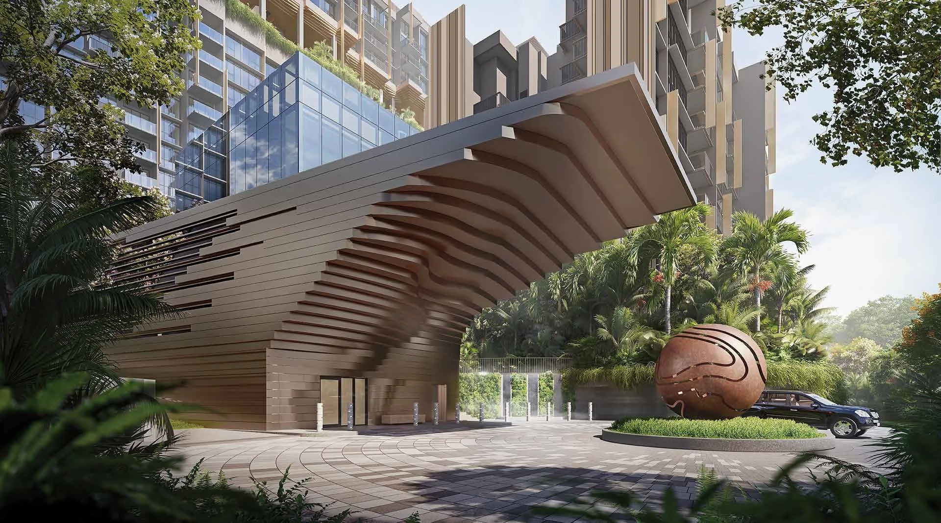
 Artist’s impression
Lentoria is a short walk from Lentor station on the Thomson-East Coast Line, and within reach of two stations on the North-South Line. This guide sets out the lines, the main roads and the journeys they open up. Distances are straight lines on OneMap from the site; walking routes are longer.
Lentor Station and the Walk from Lentoria
Lentor station (TE5) sits on Lentor Drive. The developer’s brochure describes the walk from Lentoria as a leisurely five-minute stroll to the station and the mall beside it. On OneMap, Exit 4 is about 390 metres from the site in a straight line, Exit 1 about 410 metres and Exit 2 about 455 metres, so the shortest route depends on which side of the station a resident heads for.
From Lentor, the Thomson-East Coast Line runs south through Mayflower, Bright Hill, Upper Thomson and Caldecott to Stevens and the Orchard stations, then on through Great World, Outram Park and Maxwell to Shenton Way, Marina Bay and Gardens by the Bay, before turning east along the coast. Northwards, it reaches Springleaf and then Woodlands.
Lentor station, Exit 4.
About 390 metres from the site in a straight line; the developer’s brochure gives a leisurely five-minute stroll.
The North-South Line near Lentoria
Yio Chu Kang station (NS15) on Ang Mo Kio Avenue 8 is about 1.2 kilometres from the site, and Ang Mo Kio station (NS16), above the bus interchange beside AMK Hub, about 2.2 kilometres. Both give a second line into the city through Bishan, Toa Payoh and Newton, and north to Yishun and Woodlands. Mayflower station (TE6), one stop south of Lentor on the Thomson-East Coast Line, is also about 1.2 kilometres away.
| Place | Straight line from the site |
|---|---|
| Lentor MRT, Exit 4 (TE5) | about 390 m |
| Lentor MRT, Exit 1 | about 410 m |
| Lentor MRT, Exit 2 | about 455 m |
| Mayflower MRT station (TE6) | about 1.2 km |
| Yio Chu Kang MRT station (NS15) | about 1.2 km |
| Ang Mo Kio MRT station (NS16) | about 2.2 km |
| Springleaf MRT station (TE4) | about 2.5 km |
| Upper Thomson MRT station (TE8) | about 3.1 km |
| Caldecott MRT station | about 5.0 km |
| Orchard Boulevard MRT station (TE13) | about 8.9 km |
| Raffles Place MRT station | about 11.1 km |
Straight lines from the site on OneMap (SLA); the walk itself is always longer.
Driving from Lentoria
Yio Chu Kang Road runs past the site, linking Upper Thomson Road to the west with Ang Mo Kio Avenue 5 and the Central Expressway to the east; the developer’s brochure notes that a short drive to the Central Expressway reaches anywhere on the island. Its location map also marks the Seletar Expressway to the north and the North-South Corridor, under construction, which is planned to link the northern towns with the city.
Buses and Cycling at Lentoria
A side gate on Level 1, with a covered linkway, gives residents a direct path to the bus stop on the main road, and the developer’s fact sheet provides 101 bicycle lots alongside 227 car park lots. The location page gives every distance from Lentoria.
Book a Showflat Appointment for Lentoria
Ask the Sales Concierge for the price list, the homes that remain and the e-brochure for Lentoria. Showflat viewings are arranged by appointment through the Sales Concierge.